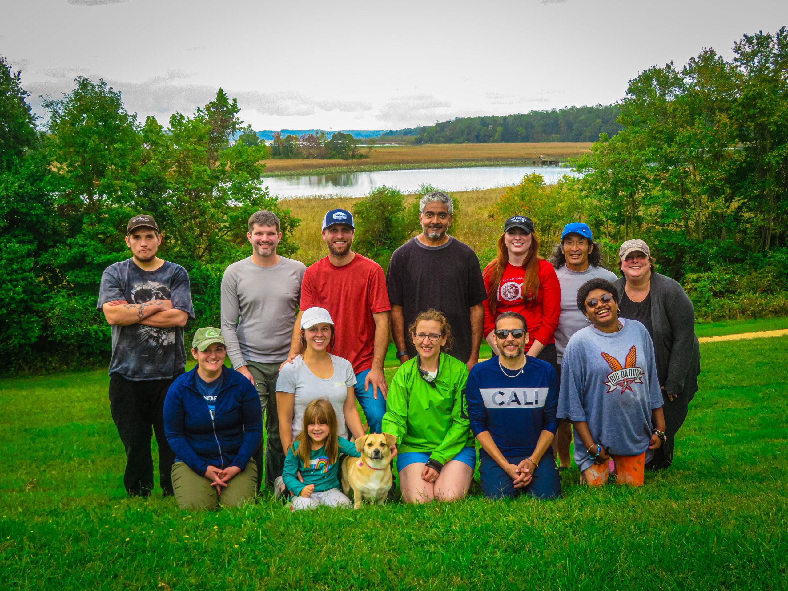
How could Savage Mill’s management team get to know one another? With a team kayak outing at Patuxent River Park, of course!
The management team has grown and changed a lot in recent years. As fall approached, we decided it would be a great time to get out in nature, having fun while experiencing something new together.
We reached out to Saki, a Savage resident who loves leading kayak tours and teaching others about the area’s history. He offered to take us to his favorite place, the Patuxent River where it widens into a scenic area known as Jug Bay. We were intrigued to learn about the area since the Little Patuxent River, which flows beside the Mill and once powered its operations, is a tributary of the Patuxent River. The water flows into the Chesapeake Bay, the largest estuary in the nation and the third largest in the world.
Patuxent River Park
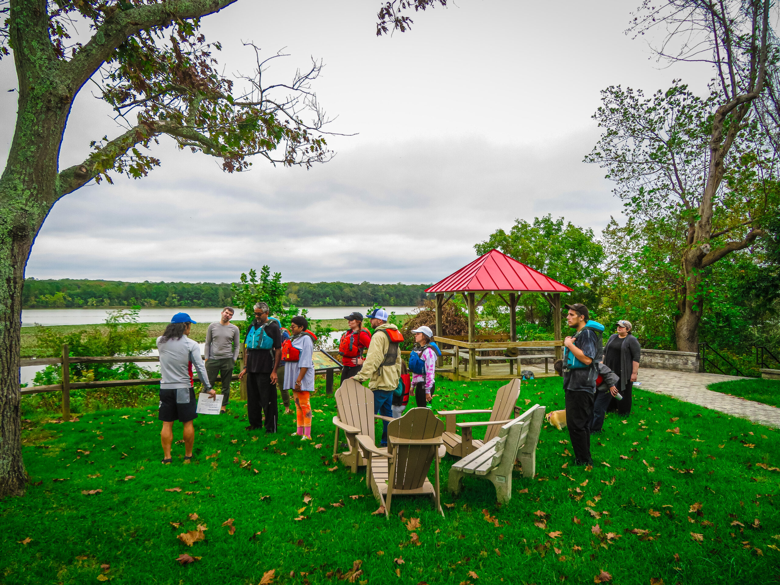
To access Jug Bay, we headed an hour south of Savage to Patuxent River Park to rent kayaks and canoes. Standing at the overlook behind the Visitor Center, Saki oriented us with a map of the area and regaled us an overview of the area’s history.
Patuxent History
Native American tribes such as the Piscataway once lived in settlements along the Patuxent River. Saki showed us a Piscataway arrowhead that one of his neighbors’ sons had unearthed underneath their house in Savage years ago.
Saki also pointed out Pig Point, a spot visible upriver that has a close connection with Savage. Commodore Joshua Barney, a resident of Savage in the early 1800s whose daughter married Nathaniel Williams, one of the men who started Savage Mill, was a Revolutionary War and War of 1812 hero. Barney commandeered a flotilla of ships that traveled on the Patuxent River in 1812, attacking and delaying the British for several months as they attempted to head to Washington. After it was clear the British had the upper hand, Barney scuttled his ships at Pig Point to prevent the British from seizing them and fought on land at the Battle of Bladensburg. The ships are presumed still at the bottom of the river; the flagship USS Scorpion was located in 2011. The PBS special “Search for the USS Scorpion” shows the archaeological work that was conducted.
Our Outing
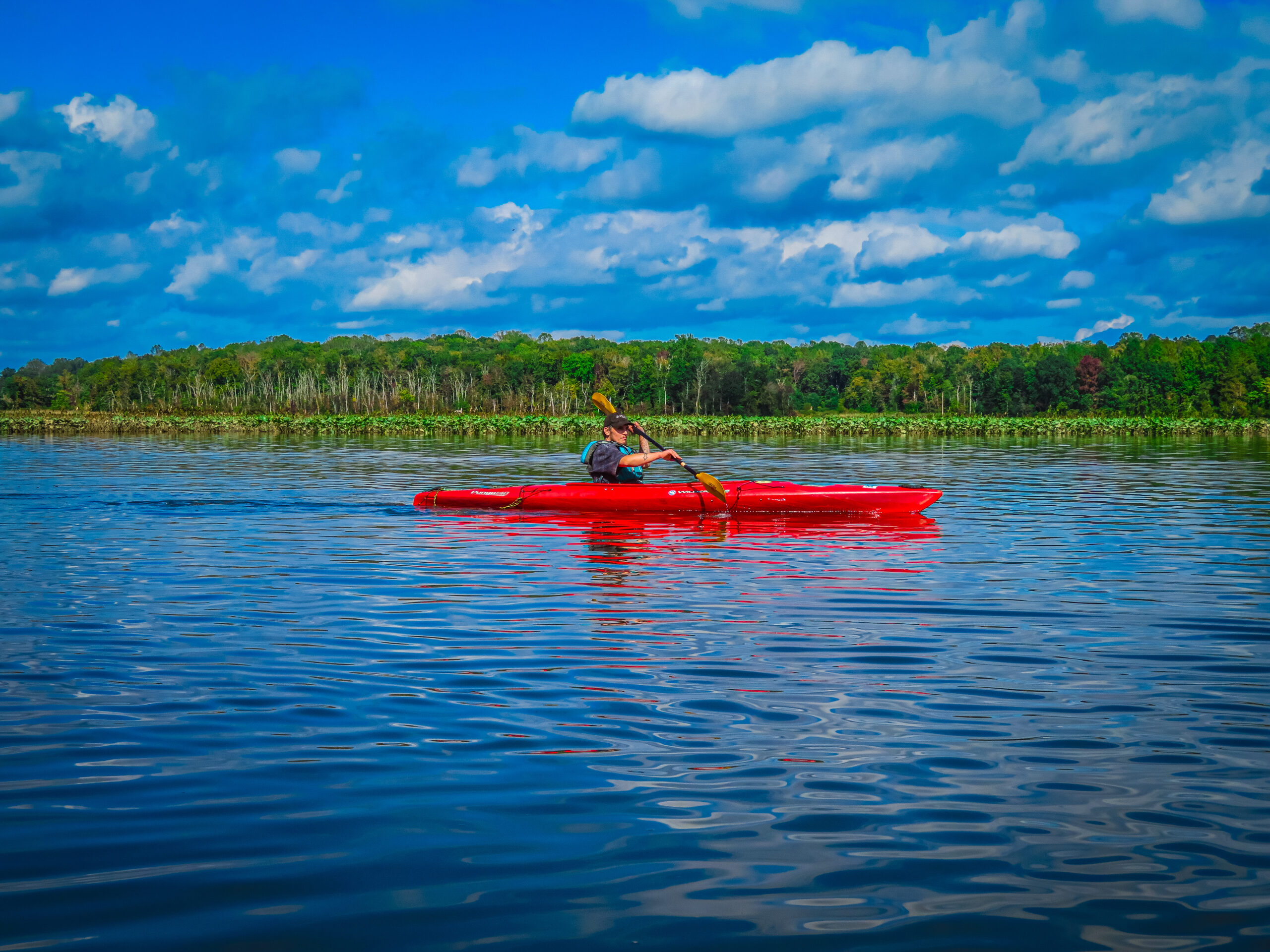
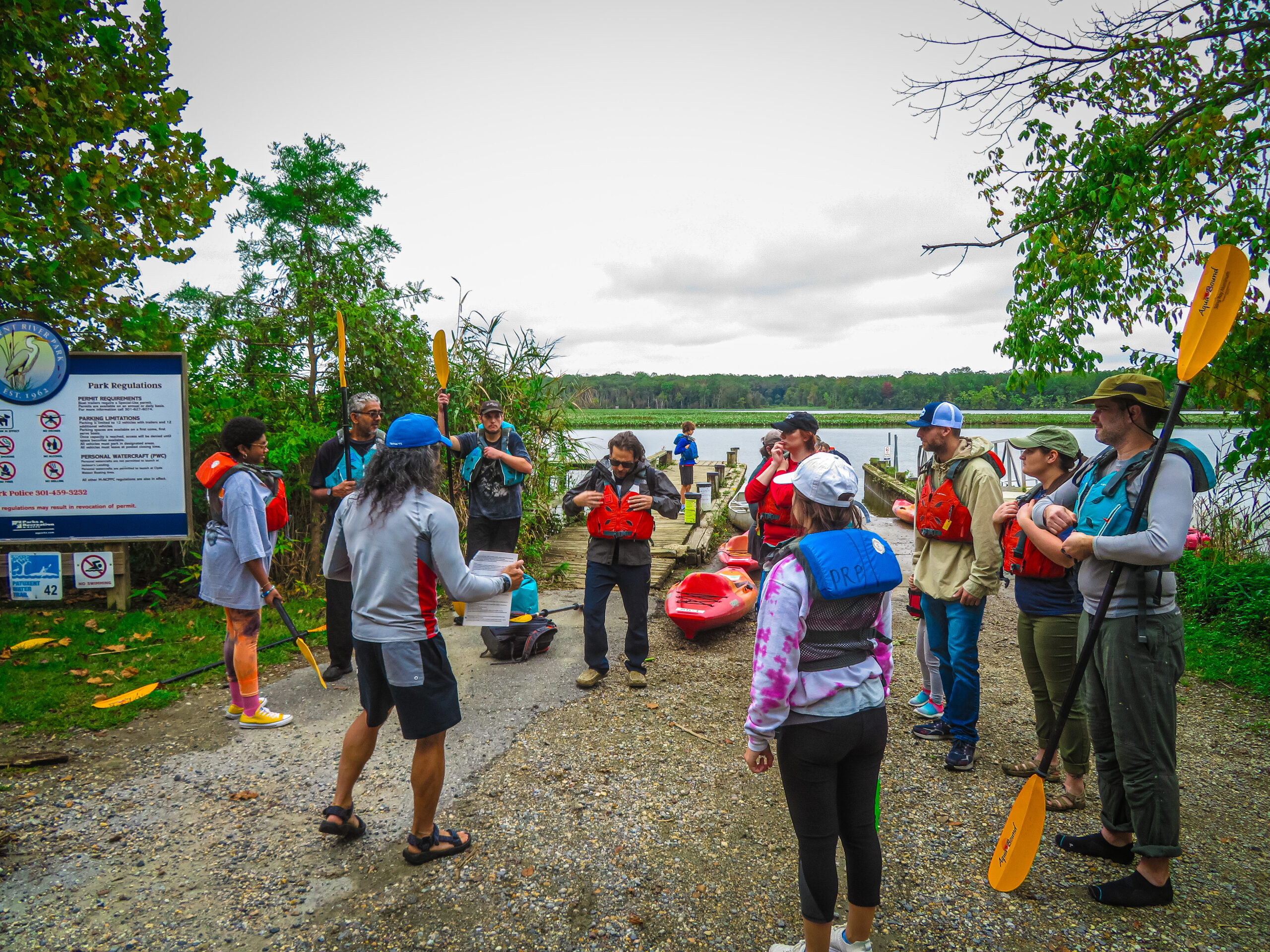
Down at the launch site, the team selected their boats, paddles and life jackets and listened to Saki’s paddling and safety tips. We learned that while the Patuxent River was once so deep that steamships could navigate up to the Anacostia River and the port at Bladensburg, these days a deep layer of silt makes it less than a meter deep in most places.
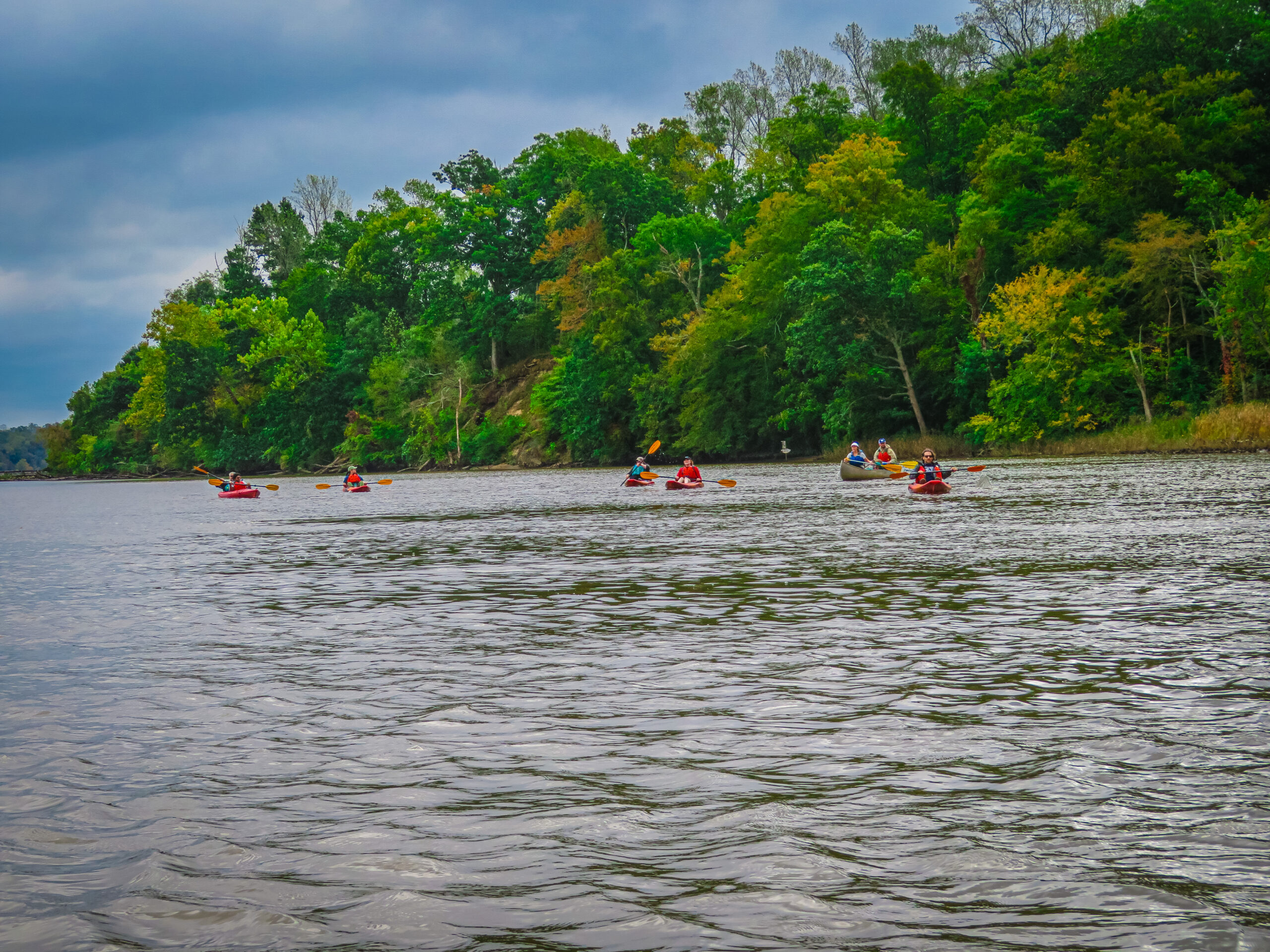
Once the team got underway, the sense of adventure really began. Red winged blackbirds sang from the safety of the river grasses while great blue herons fished along the riverbanks. Some folks caught glimpses of turtles before they slipped into the water from their sunny perches on logs, and everyone enjoyed the sight of a field full of goats right at the water’s edge. Saki stopped the group a couple times to point out edible plants such spatterdock, aka yellow pond lily, the roots of which can be eaten, and wild rice, an important food source for birds and, historically, humans.
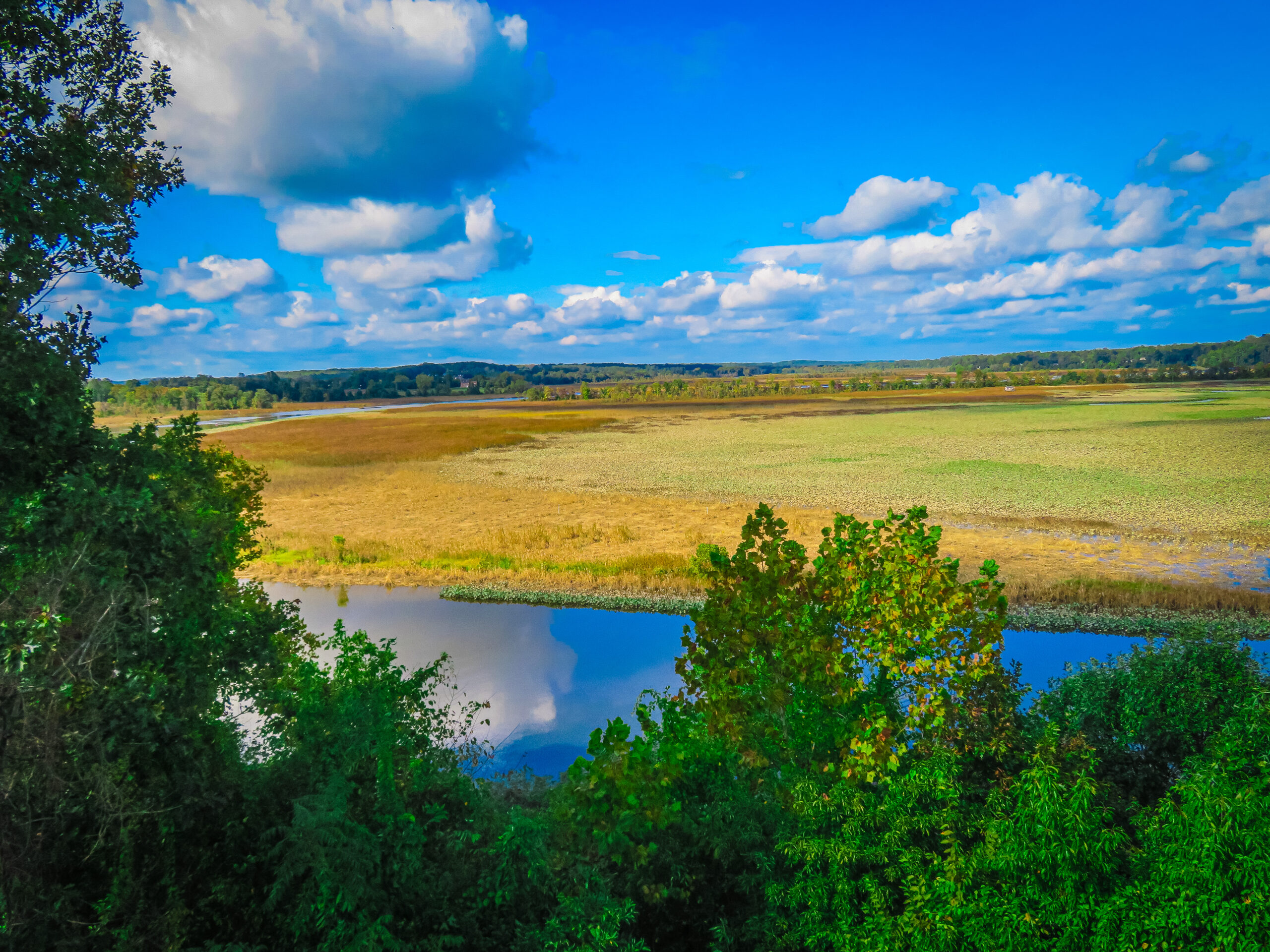
Our turnaround point was a beaver lodge a little over a mile upstream. We learned that while it’s rare to spot a beaver, which can get to 40 lbs. or more, it’s not unusual to catch a glimpse of a muskrat swimming. Also a rodent, it’s the size of a small cat and possesses poor eyesight and hearing. Someone commented about how the landscape further upstream was becoming wooded. Saki explained that this was due to the water become less brackish the further upstream we paddled.
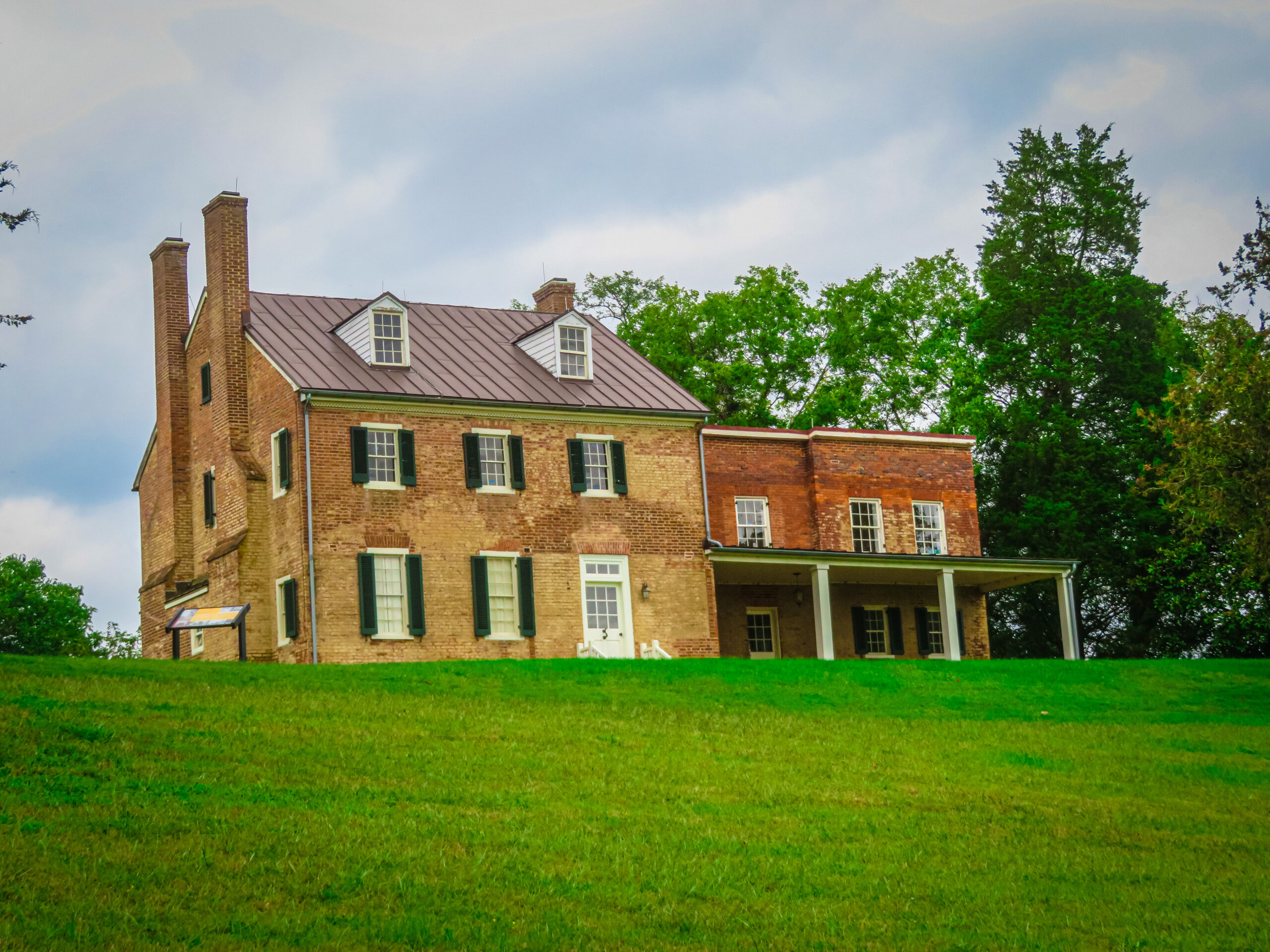
Mount Calvert
Heading back downstream, we landed at Mount Calvert Historical and Archaeological Park. We were happy to have a chance to stretch our legs and take a well-deserved lunch break while enjoying impressive views from the picnic area.
Patuxent Challenge
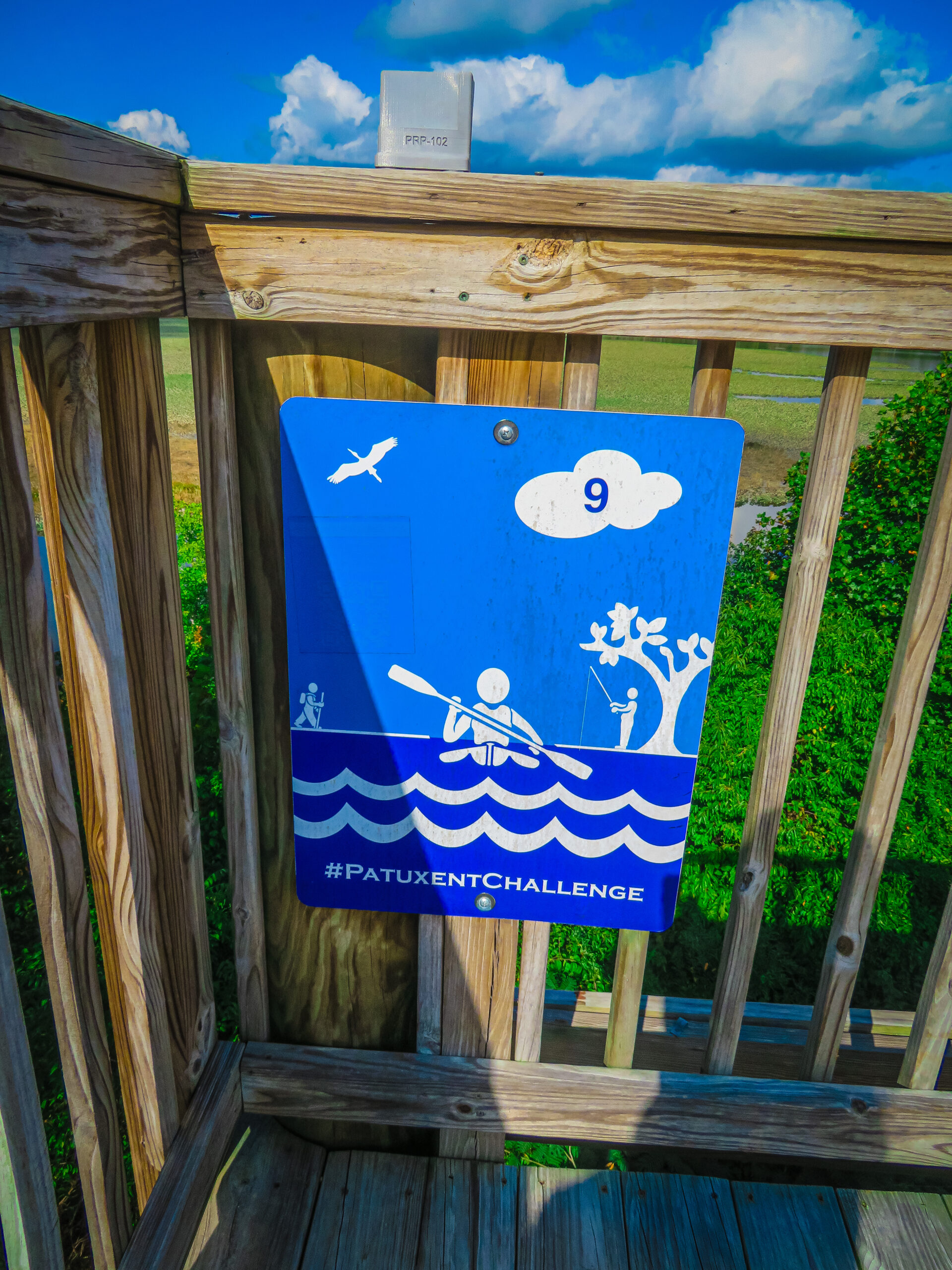
With the wind in our favor, the return trip went quickly. After returning our boats and gear to the friendly staff at the launch area, we changed into clean, dry clothing. Some of us climbed the observation tower to get a great view of where we’d been. Informational signs and maps gave a good overview of where we stood and the history of the area over time. A Patuxent Challenge marker identifies the park as one of the locations where you can participate in multi-county activities to experience Maryland’s longest river as it flows from its headwaters to the Chesapeake Bay.
Patuxent Rural Life Museums
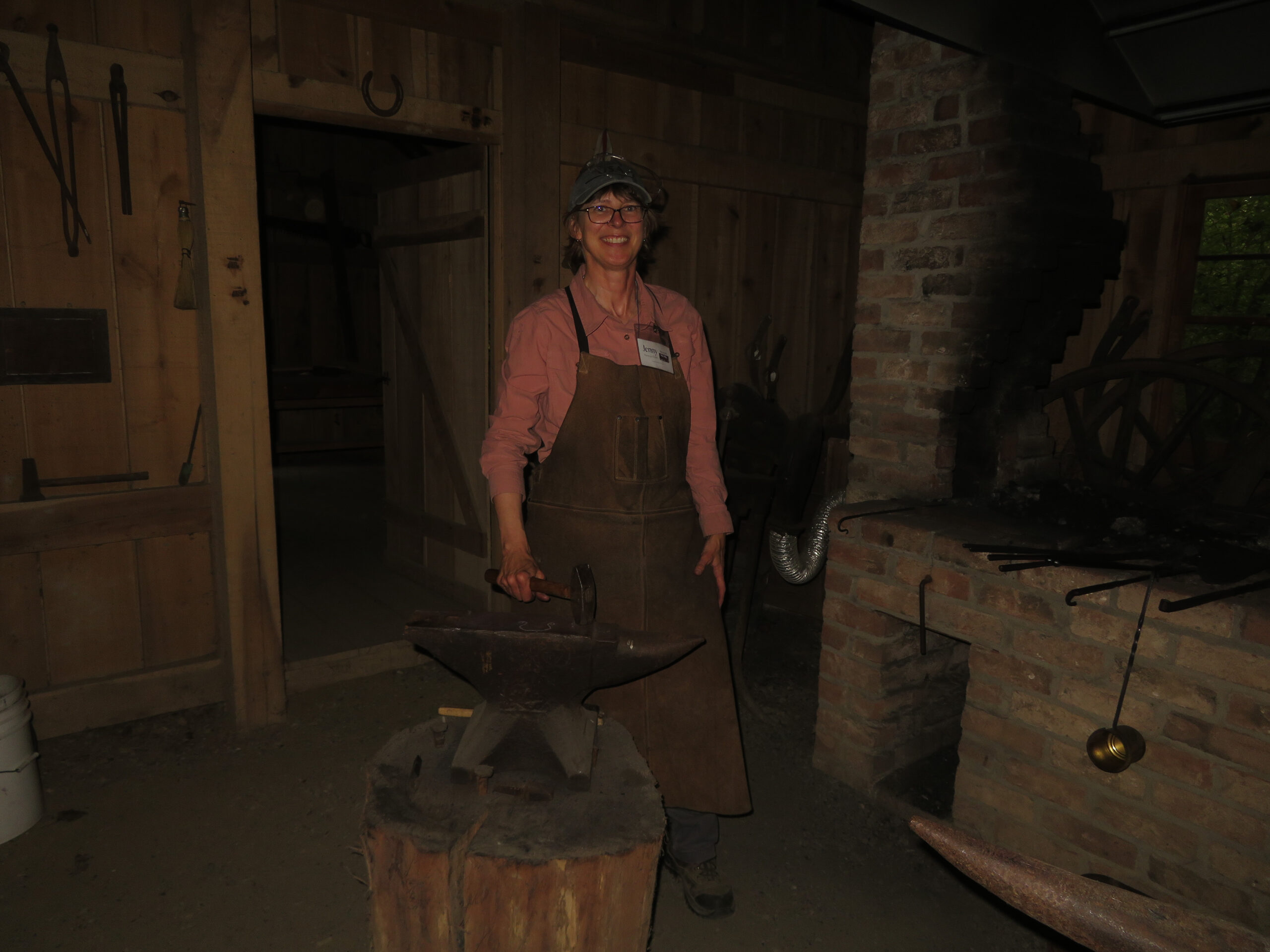
To wrap up the day, we checked out some of the buildings that comprise the Patuxent Rural Life Museums. The blacksmith was happy to talk about the skills she’s learned in producing various pieces, and we peered into the rare 1923 Sears Craftsman prefabricated house and marveled at the ingenuity in the design of the Charles Duckett Freedman Log Cabin.
Our outing was a great way to bring history to life and connect our work with the world around us. We highly recommend it!